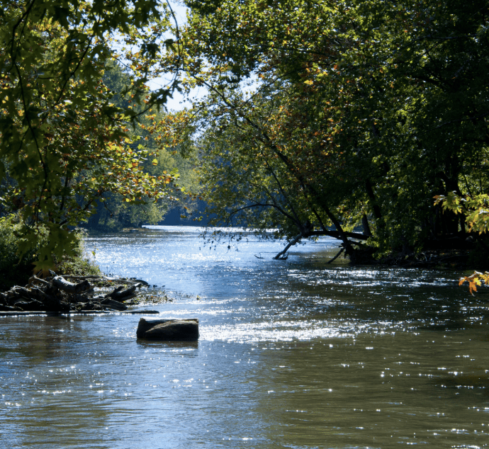
What will the White River at Indianapolis peak at during the August 2026 floods?
Under 14 ft
Order Book
Under 14 ft
Resolution Criteria
This market resolves based on the maximum (peak) gage height recorded at USGS streamgage 03353000 (White River at Indianapolis, IN) between market creation and August 31, 2026 11:59 PM EDT. Each bracket includes its lower bound and excludes its upper bound, so every possible peak value maps to exactly one bracket (e.g., a peak of exactly 17.00 ft falls in the 17–20 ft bracket; a peak of exactly 14.00 ft falls in the 14–17 ft bracket). Resolution is based on the peak gage height value recorded during the specified window as published by USGS at https://waterdata.usgs.gov/monitoring-location/USGS-03353000#dataTypeId=continuous-00065-0&period=P7D&showFieldMeasurements=true. USGS real-time data is provisional and subject to revision; the last provisional value published by USGS for the specified window as of 11:59 PM EDT September 1, 2026 governs, regardless of any USGS revision, approval, or finalization published after that time. For reference, NWS designates flood stage at this location as 16.0 feet. The primary resolution source is USGS data for streamgage 03353000; however, a consensus of credible reporting may also be used should USGS not be available.
Related Markets






Under 14 ft
30%